
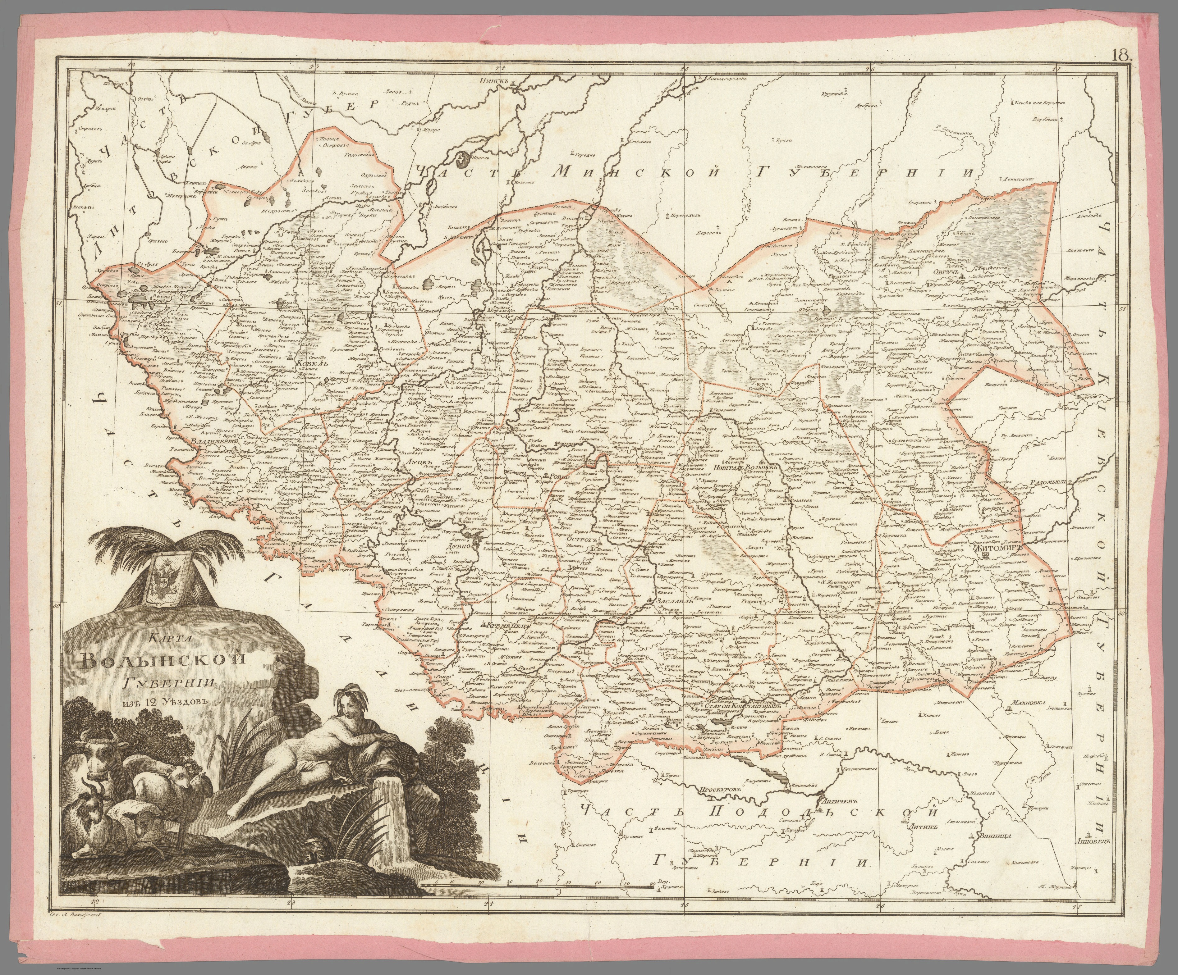
О. М. Вільбрехт. Карта Волинської губернії з 12 повітів.1800 р.
Розділ: Мапи Волині
Author: Aleksandr Mikhailovich Wilbrecht [Олександр Михайлович Вільбрехт] (1757 - 1823)
Date: 1800
Short Title: 18. Карта Волынской губернии из 12 уездов. [Map of the Volyn Province of 12 Counties].
Publisher: Географический департамент [Geographical Department],
Publisher Location: St. Petersburg
Type: Atlas Map
Obj Height cm: 50
Obj Width cm: 62
Country: russia
Pub Title: Russian Atlas, consisting of Forty-Three Maps and Dividing the Empire into Forty-One Provinces (Российский атлас, із сорока трьох карт сучасного і на сорок однієї губернії Імперії розділяючий).
Pub Reference: National Library of Russia (St. Petersburg): К 1-Росс 8/14; cf. [1792 ed.:] 1792: Royal Geographical Society: mr 1.C.112, Beinecke Library (Yale University): 1976 Folio 105; Leo BAGROW, ed. Henry W. Castner, A History of Russian Cartography up to 1800 (Wolfe Island, Ontario: Walker Press, 1975), Part V, pp. 212, 215.
Pub Note:
"Folio Atlas, but here with Complete Contents contemporarily left unbound and presented as 47 separate copper engraved leaves, each with contemporary pink paper edging. Extremely rare and historically important – the finest Enlightenment Era atlas of the Russian Empire, being the second edition of the work, made on the orders of Czar Paul I to present his new jurisdictional reforms, created by Aleksandr Mikhailovich Wilbrecht, the Chief Geographer and Cartographer to the Imperial Court, from the best sources and surveys, a complete example with 43 maps and 2 preliminary leaves, including a giant 3-sheet general map of the Russian Empire with an important inset depicting the Gulf of Alaska and northern British Columbia coasts, dozens of maps of individual Russian ‘gubernia’ (provinces) of unprecedented accuracy, as well as a map focusing upon Alaska and Kamchatka predicated upon intelligence gained from numerous Russian and British exploring expeditions; all maps beautifully decorated with allegorical cartouches, with text in Russian Cyrillic, published in St. Petersburg by the Czar’s Geographical Department; an extraordinary example clearly never bound, but preserved ‘in plano’ with all leaves with original outline hand colour and contemporary pink paper edging. This work is the finest Enlightenment Era atlas of the Russian Empire (which then included Alaska), and one of the foundational monuments of Russian scientific cartography and geographic intelligence. It is the revised second edition of a work first issued in 1792, and was made by Aleksandr Mikhailovich Wilbrecht, an exceedingly talented geographer, cartographer, mathematician and astronomer, who was the chief geographer and mapmaker to the Imperial Court. This revised edition of the atlas was created on the orders of Czar Paul I especially to show the empire’s new internal jurisdictions which were imposed per his reforms. The folio atlas features 43 maps, including a giant 3-sheet general map of the entire Russian Empire featuring an inset bearing a historically significant map depicting Alaska and much of the coast of British Columbia; individual maps of all of Russia’s first-level jurisdictions predicated upon the best surveys and sources; plus, a large format map of Kamchatka, Alaska and the northern BC Coast, predated upon intelligence from ground-breaking exploring expeditions. All maps are beautifully adored with allegorical cartouches that portray Russia to be a powerful, autocratic state, enlightened by science, culture and commerce, and which vanquishes its enemies. The present example of the atlas is complete, featuring 47 engraved leaves (2 preliminaries, and 43 maps on 45 leaves – the maximum called for); however, it was clearly never bound (the sheets are of dissonant sizes), with the borders of each sheet contemporarily edged with pink paper, allowing the maps to be conveniently enjoyed in plano. "
Джерело: